One Year Later: The Changes Brought by Helene
/It’s been over a year since Hurricane Helene caused historic devastation. The storm was the deadliest to hit the US since Hurricane Katrina in 2004. In NC alone, Helene caused 107 deaths along with billions of dollars in damage. Lakes flooded, entire buildings were swept away, and even the paths of streams and rivers changed. This catastrophe will also have a lasting impact on engineering practice and policy as North Carolina moves forward. These changes might only just now be becoming visible, but here are a few examples of changes that we have either noticed or may be involved in.
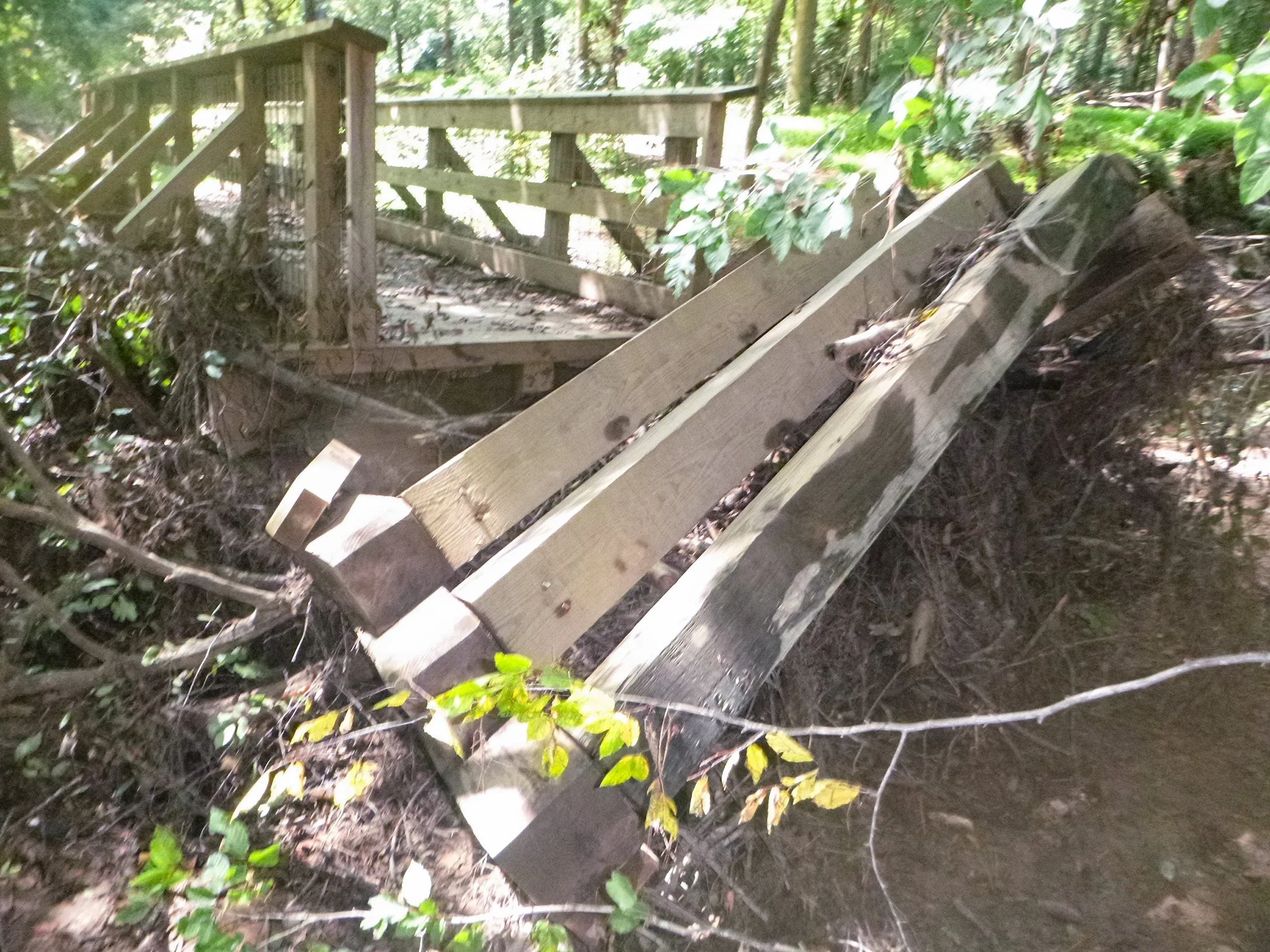
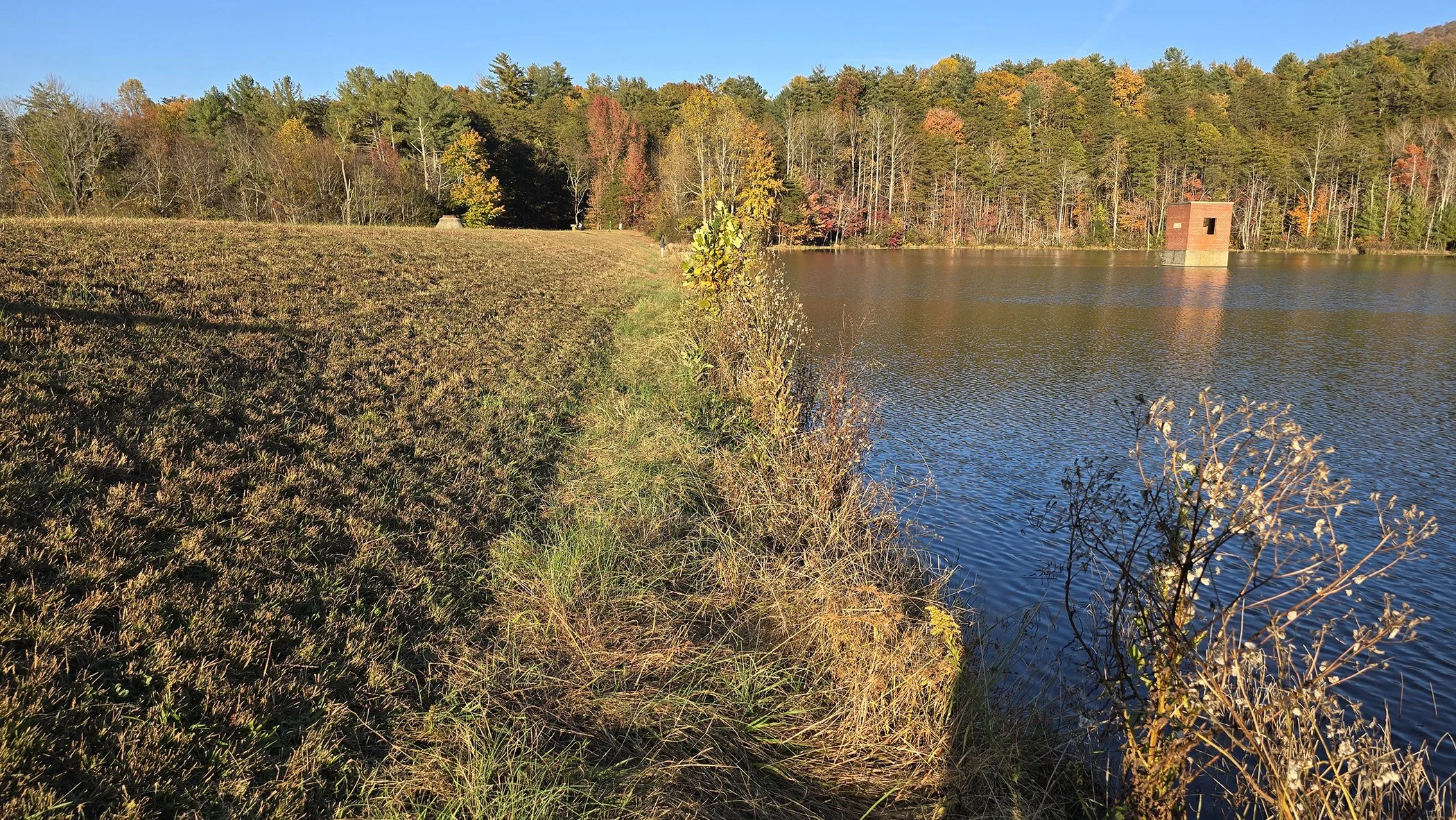
More Support for Private Bridges

A Two Lane Bridge, Completely washed out
Many smaller, private bridges failed during Hurricane Helene. Even now, when most larger roads have reopened, many homeowners are stranded because their privately owned bridges still require replacements and repairs. To assist families that have lost safe access to their communities and support better maintenance, the NC Department of Public Safety launched the North Carolina Private Road and Bridge Program. This program provides homeowners with bridge replacements and repairs, and reimbursements for homeowners who have started repair projects out of pocket. Owners are even given guidebooks to assist with monitoring wear and tear and scheduling inspections. Regular repairs and maintenance will help extend the lives of these bridges and hopefully prevent such widespread failures.
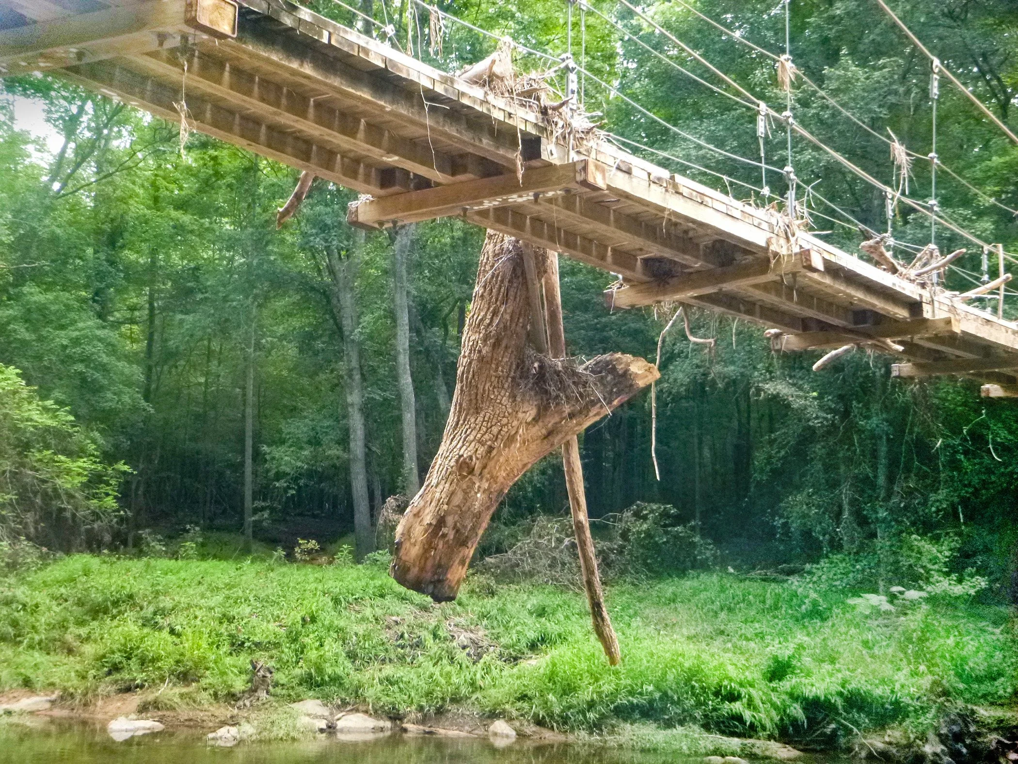
EAPs
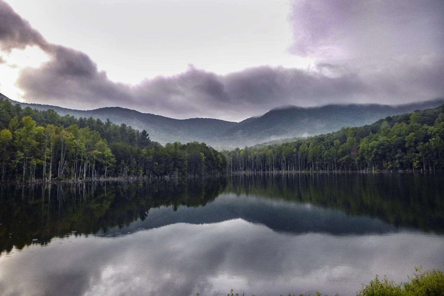
The South Mountain Dam, which we’ve recently completed an EAP for
Another major change is a new focus on EAPs and dam safety. The A&O team has seen a sudden influx of requests for EAPs from state divisions, municipalities, local neighborhoods, and even private owners. While there has always been a requirement that EAPs should be updated yearly, it seems that several dams held off updates if they already had a plan in place or were not aware of the need at all. Since the start of 2025, Dam Safety has been alerting dam owners to the need for inspections and requesting updates. This is likely because Helene’s downpour pushed several dams to their limit. For instance, during the storm, Lake Lure was forced to activate its EAP and elevate it to “Event Level 1, RED URGENT!! DAM FAILURE IMMINENT OR IN PROGRESS” and evacuate any people at risk. While we were fortunate enough that no dam breach occurred, that might not be the case next time, and if the worst occurs, an active EAP can save lives.
Design for Resilience

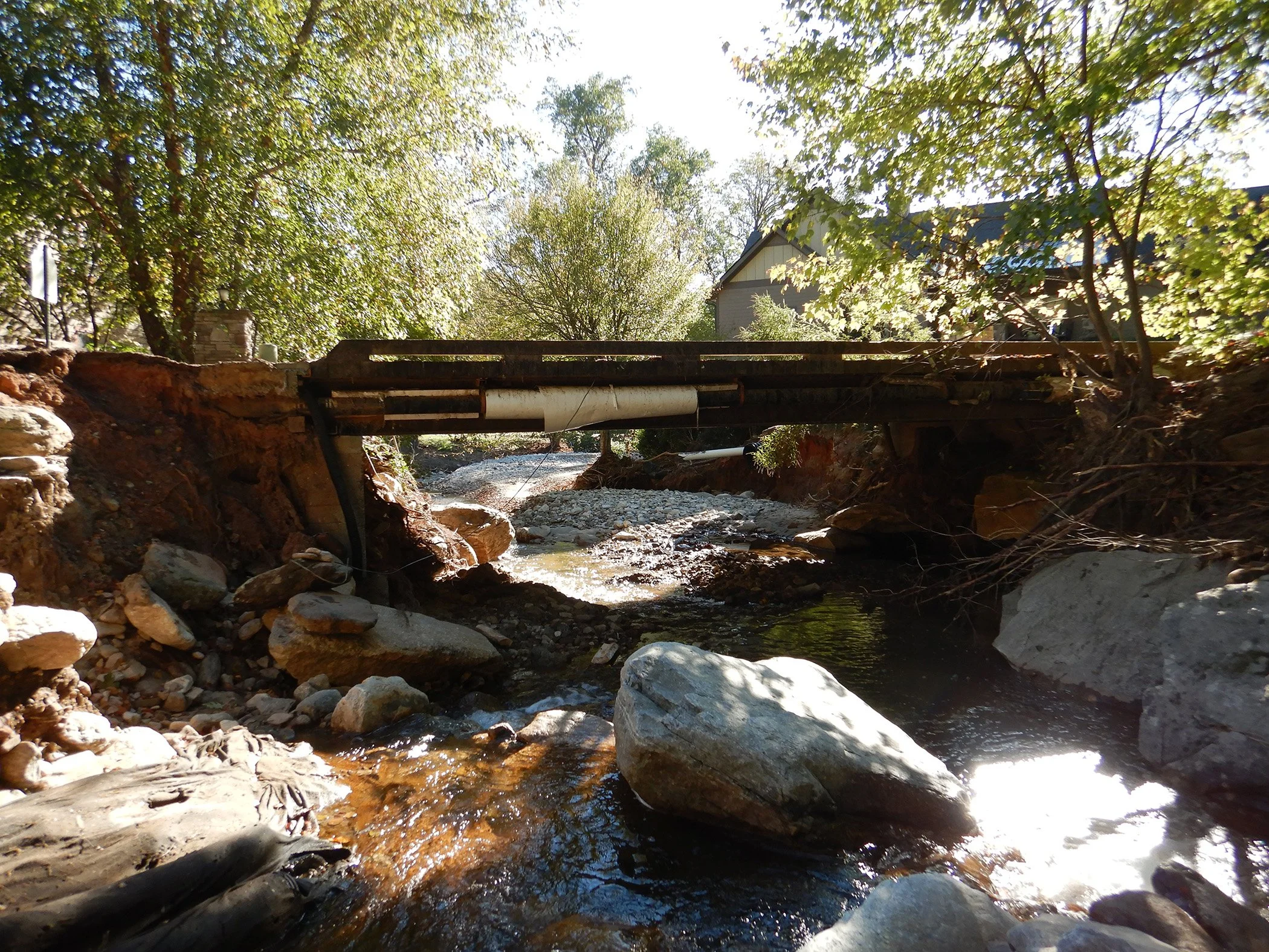
a damaged culvert
A final major change is a shift in what clients want from bridges. Resiliency is now a key factor of design, especially for communities impacted by Helene. New RFQs from towns and cities in Western NC have started requesting that structures be designed to resist heavier floods. Even the NCDOT is updating their design standards to improve stormwater and infrastructure resilience. The hydraulic component of bridge design is now more important than ever, and new flood studies may one day use a 500+-year-flood as opposed to the current 100-year. It is likely that enduring damaging flood events will be a major focus on structural design for the foreseeable future.
New programs to promote regular maintenance, renewed focus on preventative measures, and design with resilience in mind are only a few of the changes that Hurricane Helene has brought. We are learning from the mistakes and oversights that the storm revealed, including the hard truth that an unprecedented event is always possible. As we provide new EAPs, bridge inspections, and more flood-ready designs, we hope to support our communities as we rebuild for our future.
Sources:
Helene wiped away private roads and bridges. A new state program is stepping in to help